What you will learn
-
None
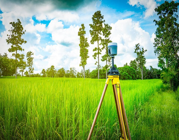
The objective of the course is to provide optimal insights into land surveying using GPS (Global Positioning System). The course starts with an introduction to land surveying leading to GPS as the state-of-art for surveying of land. Then, different aspects of GPS systems such as GPS architecture, GPS signals, GPS receivers, GPS software has been discussed followed by GPS positioning & GPS observables. Next, it provides GPS processing fundamentals consisting of pre-processing and processing steps under different processing strategies followed by quality assessment and field procedure of GPS surveying. The course concludes with a detail demonstration of GPS field surveying followed by processing of collected data.
No Data Found!

No Discussion Found
5.0
1 Reviews

TRISHNA P
5 days ago
Thank You
Meet Your Instructor
About Instructor
VTU is one of the largest Technological Universities in India with 24 years of Tradition of excellence in Engineering & Technical Education, Research and Innovations. It came into existence in the year 1998 to cater the needs of Indian industries for trained technical manpower with practical experience and sound theoretical knowledge.

Free
-
Course Duration10 h 57 m 0 s
-
Course LevelBasic
-
Student Enrolled12
-
LanguageEnglish
This Course Includes
- 10 h 57 m 0 s Video Lectures
- 2 Quizzes
- 0 Assignments
- 0 Downloadable Resources
- Full Lifetime Access
- Certificate of Completion
